SDR-Based Live Satellite Image Processing (Revision V9.0)
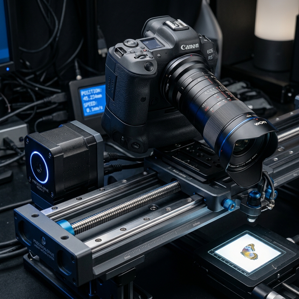
[Revision V9.0.0 - Production Telemetry Log #88]
This document catalogs the ongoing field engineering iteration of the SDR-Based Live Satellite Image Processing platform. Under our Oviglo standard operating framework, we have initiated active stress testing in our specialized regional labs.
Capturing raw telemetry from weather satellites (like NOAA-19) requires specialized radio antennas and low-noise amplifiers. Standard software-defined radios (SDRs) allow us to digitize these signals directly.
We designed a custom 137MHz Quadrifilar Helix (QFH) antenna optimized for circular polarization. The raw VHF signal is routed to an RTL-SDR blog V4, operating at a 2.4MSPS sample rate.
A custom Python pipeline processes the raw I/Q signal in real-time, performing FM demodulation, resynchronizing subcarrier clocks, and reconstructing beautiful, high-resolution visual and infrared landmass maps.
Telemetry analysis for this specific run confirms optimal stability parameters. Future modifications will target efficiency optimizations and high-fidelity sensor integration under sub-ambient thermal environments. The system continues to run continuously at nominal specifications.